Our projects
Using metagenomic approaches to understand impacts of coal seam gas and coal mining to stygofaunal assemblages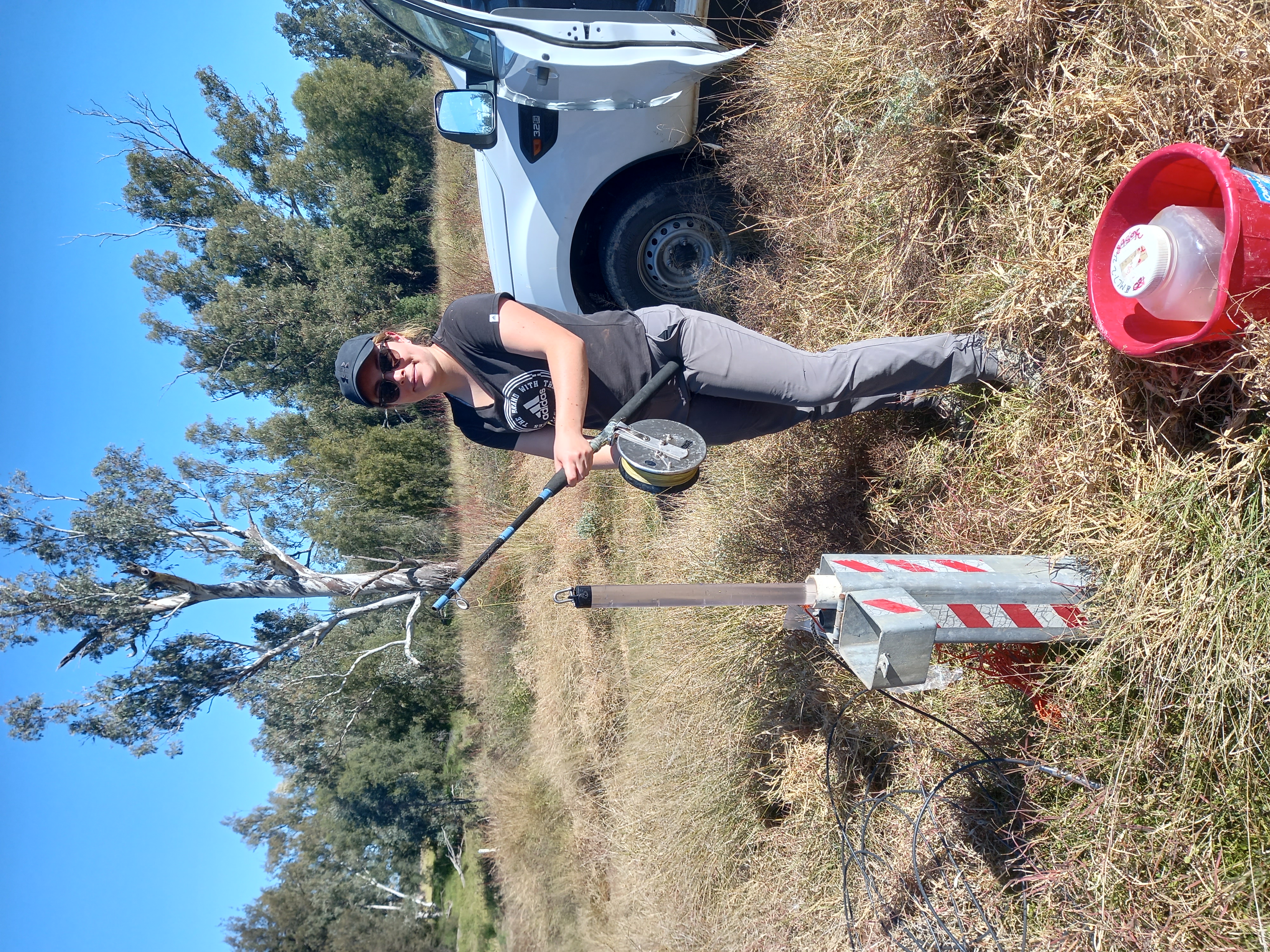
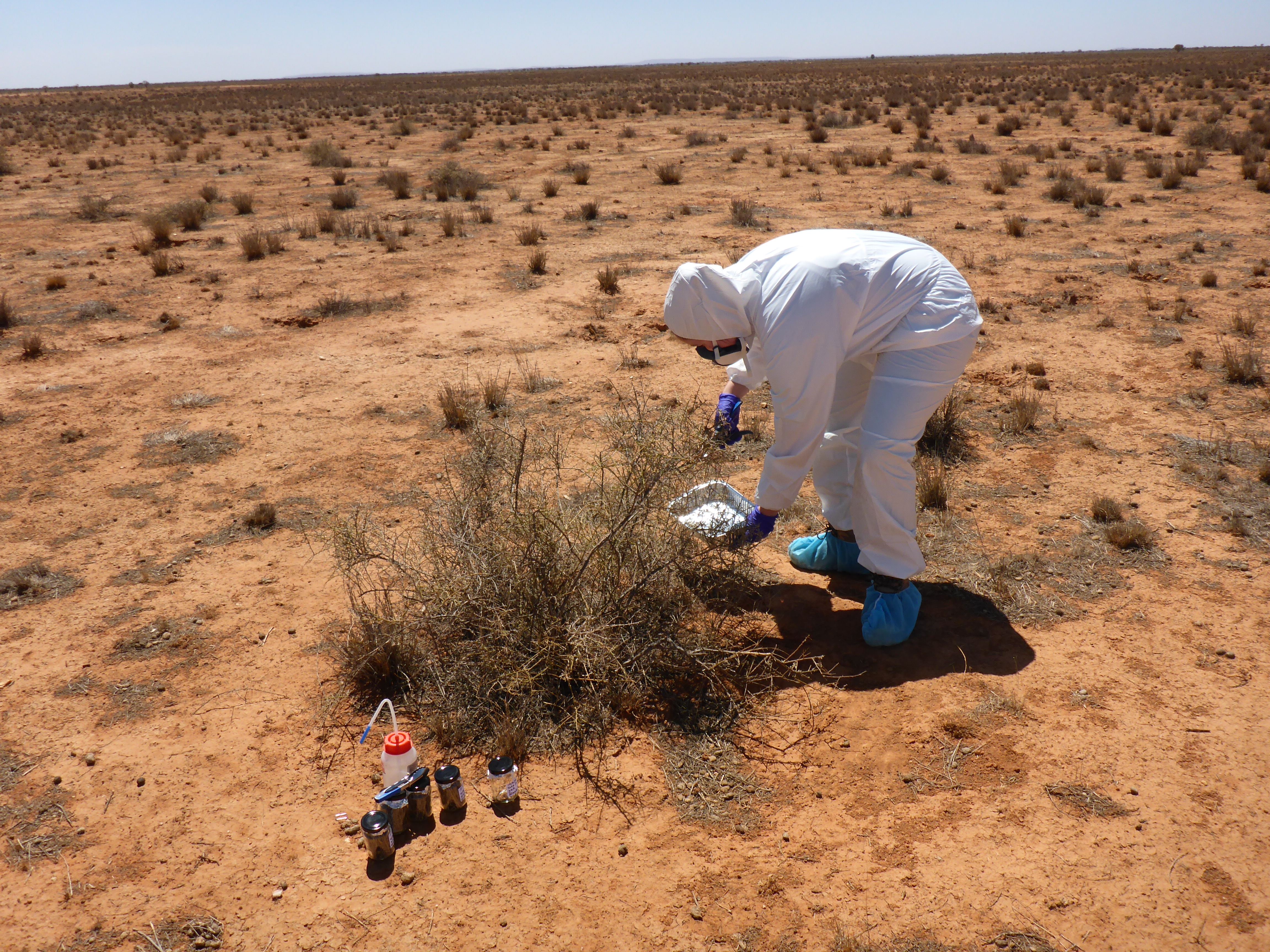
Research to improve understanding of potential impacts of coal seam gas (CSG) and large coal mining developments on water resources is critical to informed and sustainable management decisions. The aim of this project is to improve understanding of how changes to groundwater quality arising from CSG and large coal mining developments might affect the biodiversity and function of groundwater fauna and microbes.
This project has sampled groundwater quality, stygofauna and microbial communities across the Namoi River catchment. The specific objectives of the study are to:
- assess associations between groundwater quality and the composition of stygofaunal and microbial assemblages in alluvial aquifers.
- (compare the effectiveness of various sampling protocols (e.g. sampling unpurged vs purged bores, different volumes of sample to find an optimum for estimating stygofaunal assemblage composition)
- evaluate the feasibility of using eDNA for routine groundwater biomonitoring.
Project lead: Grant Hose
Partners: CSIRO
Funding: Office or Water Science, Independent Expert Scientific Committee on Coal Seam Gas and Large Coal Mining Development
Determining groundwater use by vegetation using environmental DNA
The aim of this project is to develop and validate a cost-effective method to detect tree groundwater use using environmental DNA and explore groundwater needs of vegetation in relation to plant life cycles. This project will develop a method for collecting and analysing tree DNA in groundwater and, through a series of three sub projects, determine the viability of using eDNA as a measure of tree groundwater use.
The study will focus on iconic groundwater-dependent tree species of the Murray Darling Basin. Research elements of the project will progressively address questions around the suitability of eDNA as an indicator of tree groundwater use.
Project lead: Grant Hose, Kathryn Korbel, Loren Pollitt (PhD Student), Jodie Dabovic (DPIE)
Partners: NSW DPIE
Funding: NSW DPIE
Predicting the ecological responses of groundwater ecosystems to groundwater extraction
This project tackles a critical challenge of groundwater  management – to understand and predict the impacts of declining groundwater levels. Over pumping and declining groundwater tables are a global problem, yet the effects on the ecosystems that exist within aquifers are poorly known. This project will create a world first evidence-based model of how lowering water tables affects the microbes, invertebrates (stygofauna) and ecological processes in groundwater ecosystems, and will demonstrate the consequences of such changes to groundwater quality and availability. This model will allow impacts to be reliably forecast and avoided or mitigated, vastly improving how major developments affecting groundwater are planned and implemented.
The aim of the project is to identify and quantify the impacts of GW extraction (drawdown) on GW ecosystems. To address this aim we will:
- Quantify the relationships between GW drawdown, changes to the GW environment and impacts on GW biota.
- Develop a mechanistic, empirical model from which to predict the likely ecological response, resilience and recovery of the microbes and stygofauna to changes in GW level.
- Quantify the functional roles and services of GW invertebrates (stygofauna) and microbes in order to understand the significance of their loss or change in abundance.
See project details and outcomes here
Project lead: Grant Hose, Kathryn Korbel, Jodie Dabovic (DPIE), Martin Andersen (UNSW)
Partners: NSW DPIE, UNSW, BOKU University - Vienna, Western Washington University
Funding: NSW Environmental Trust, NSW DPIE, Australian Research Council
Groundwater health index for coastal aquifers
This purpose of this study is to collect a comparative baseline data set in coastal (east of the Murray Darling Basin (MDB)) aquifers. DPIE Water in collaboration with Macquarie University have collected data to establish a comparative baseline dataset in the MDB. The expansion of this work to coastal catchments a will provide full state coverage.
Specifically, this project will apply the groundwater health index (GHI) (Korbel & Hose 2011, 2017) to identify the specific impacts of changes in groundwater level and groundwater quality in coastal Water Sharing Plan (WSP) areas. The index will inform the development of water quality targets for GDEs and provide key information on GDE thresholds to aid in reporting for IPART and WSP evaluations.
This study will be undertaken in the hardrock, alluvial and coastal sand aquifers in coastal WSP areas where monitoring bores are available for sampling. 45 bores across the coastal area will be sampled twice throughout the study period. WaterNSW monitoring bores will be sampled using a motorised inertia pump and data for all metrics as indicated by Korbel & Hose (2017) will be collected. These will include:
- Stygofauna community analysis
- Microbial community analysis (using eDNA 16S & 18S sequencing, total cell counts, cellulose degradation)
- Water quality and water level analysis
Project lead: Grant Hose, Kathryn Korbel, Jodie Dabovic (DPIE)
Partners: NSW DPIE
Funding: NSW DPIE
Riparian and groundwater dependent vegetation condition in NSW
The purpose of the project is to provid e information to fulfil the legislative requirements of the Water Management Act 2000 (WMA 2000), Water Sharing Plans (WSPs), with regard to the performance monitoring of plan strategies for riparian and groundwater dependent vegetation using remote sensing. Upon project completion, the information gathered will enable the effectiveness of WSP rules to be able to be evaluated and reported.
The project will apply remote sensing indices and field condition data to provide a broad scale coverage of changes in vegetation condition. These changes will be analysed against groundwater level changes where available and base flow conditions. Field-based assessments of vegetation condition will be conducted across catchments in the northern Murray-Darling Basin, a nd coastal rivers of NSW.
Vegetation community structure and stand condition data will be collected from a minimum of two replicate plots at each condition site. Data collected include; the height and percentage foliage cover of all species (native and exotic), occurring within the plot/transect, cover of bare ground and litter. For sites occurring within tree dominated NSW Community Types the plot/transect will be nested within a larger tree stand condition plot. In the tree stand condition plot the number, height, diameter at breast height (Dbh), canopy health metrics and breeding status of each tree will be collected. This data will be used to generate a condition score for each site for community condition and tree stand condition.
Project lead: Kathryn Korbel, Jodie Dabovic (DPIE)
Partners: NSW DPIE
Funding: NSW DPIE
A predictive ecological response model for the wet weather overflow monitoring program
This proposal aims to develop an environmental DNA based (eDNA) predictive ecological response model (PERM) for the freshwater and estuarine receiving waters of the Sydney catchment.
This objectives of the PERM are to:
- allow comparison of the observed and counterfactual endpoint values to provide a quantitative estimate of sewage impact
- model counterfactual endpoint values of stormwater exposure to place the impact of overflows in perspective;
- develop a predictive capability in the model to assess the potential ecological response to specific overflow abatements, such as the removal or reduction of overflow volumes or frequency of events
Project lead: Anthony Chariton
Funding: Sydney Water Corporation
Other projects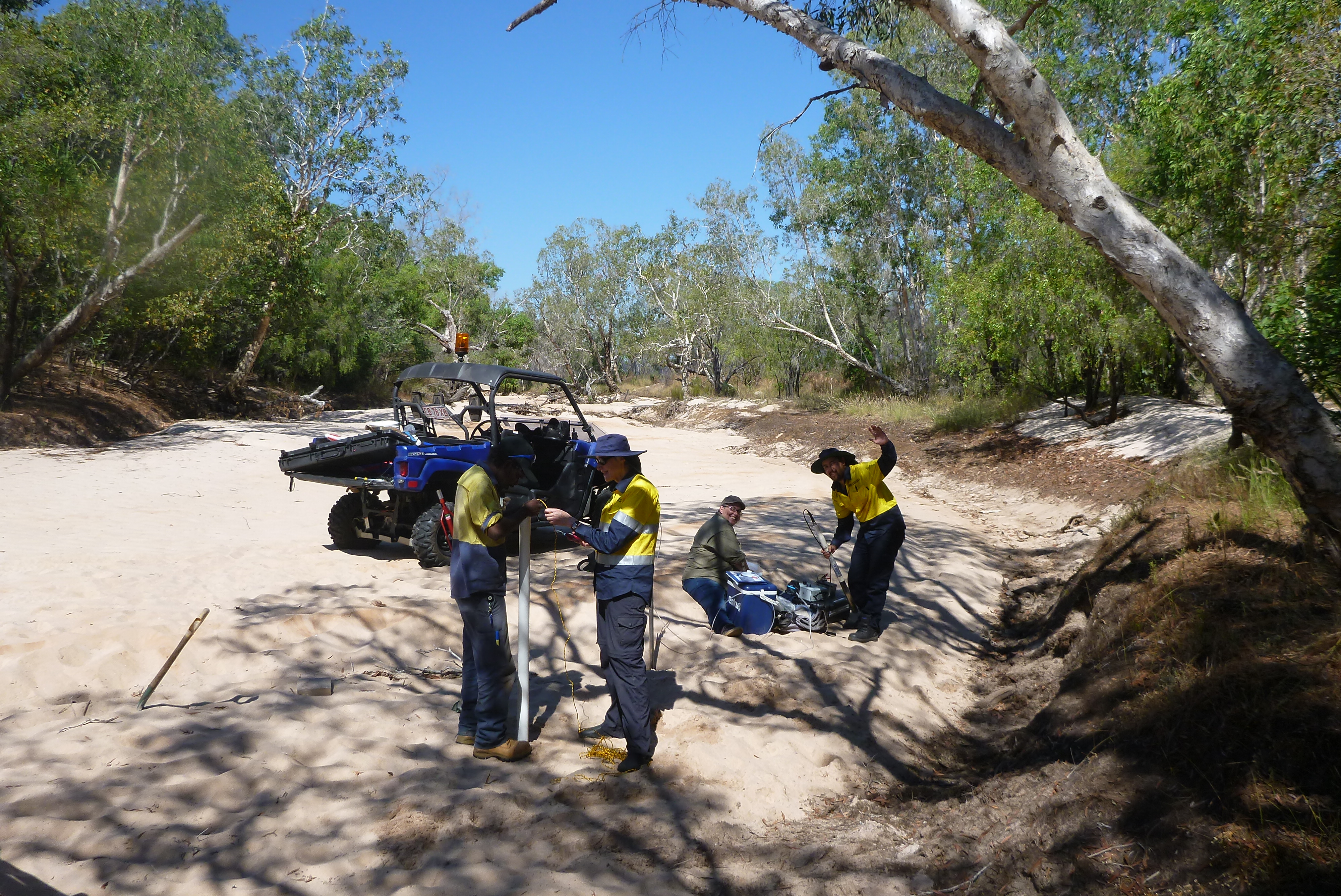
Multiple stressors in freshwater ecosystems
Pesticide impacts on arid zone ecosystems
An environmental DNA (eDNA) metabarcoding survey of Lake Macquarie’s sedimentary environments.
Monitoring program for the upland swamps in the Blue Mountains World Heritage Area.